

Blog
Where Is Patagonia? Setting the Record Straight
in Blog Posts
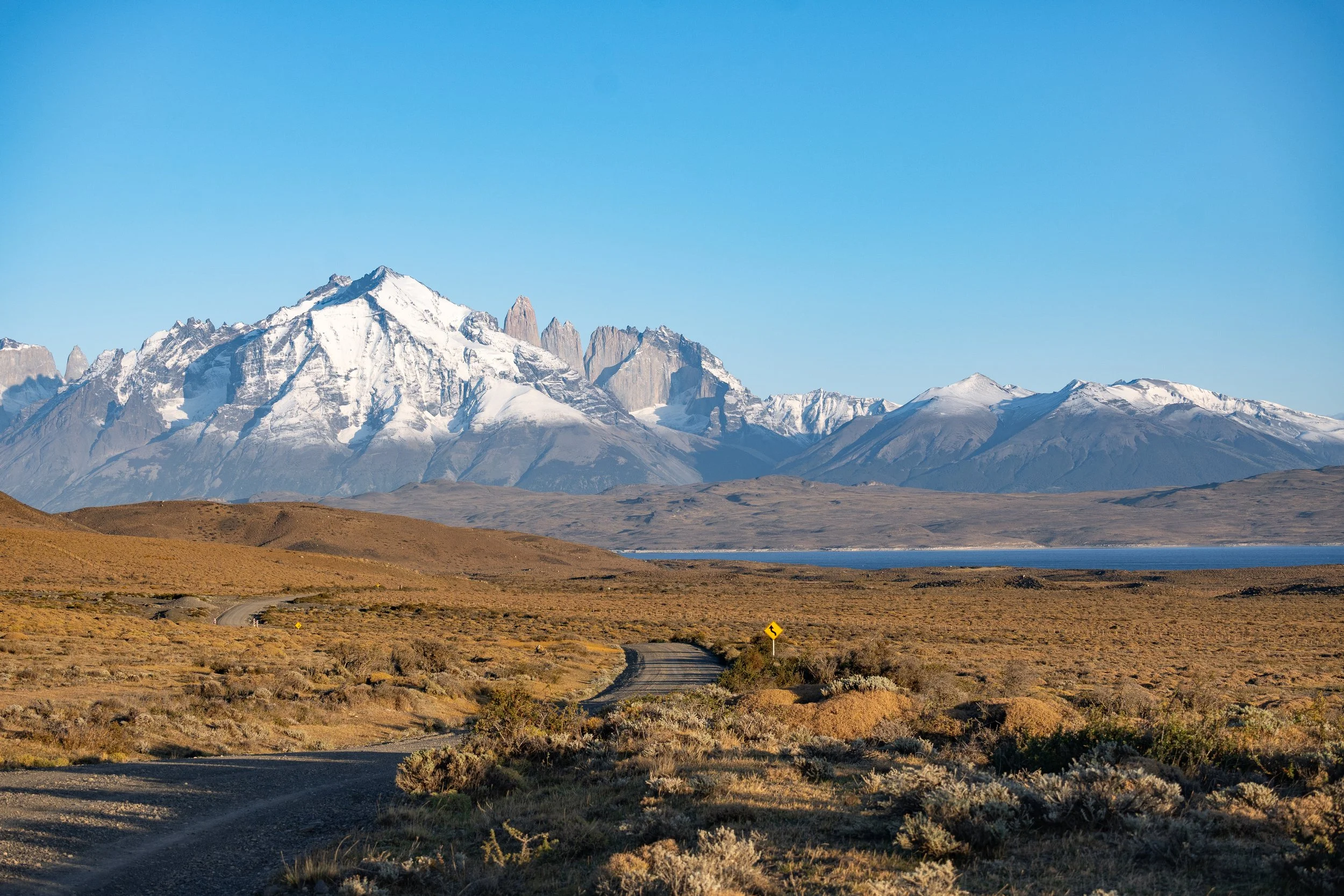
Ask ten travelers to point to Patagonia on a map, and you'll likely get ten different answers, some of them pointing to a country that doesn't actually exist. Patagonia isn't a nation, a province, or a single administrative territory. It's a vast, wild region at the southern tip of South America, shared between two countries: Argentina and Chile.
A Region, Not a Country
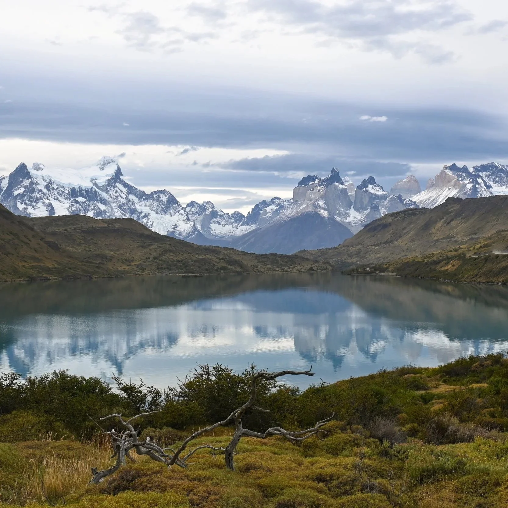
Patagonia stretches across the bottom of the continent, bordered by the Andes Mountains running through its center, the Atlantic Ocean to the east, and the Pacific Ocean and Chilean fjords to the west. On the Argentine side, the region covers the provinces of La Pampa, Neuquén, Río Negro, Chubut, Santa Cruz, and Tierra del Fuego, extending roughly 2,500 kilometers from north to south. Chilean Patagonia, meanwhile, occupies the country's southern Aysén and Magallanes regions, hugging the Pacific coast in a landscape of fjords, temperate rainforest, and ice fields.
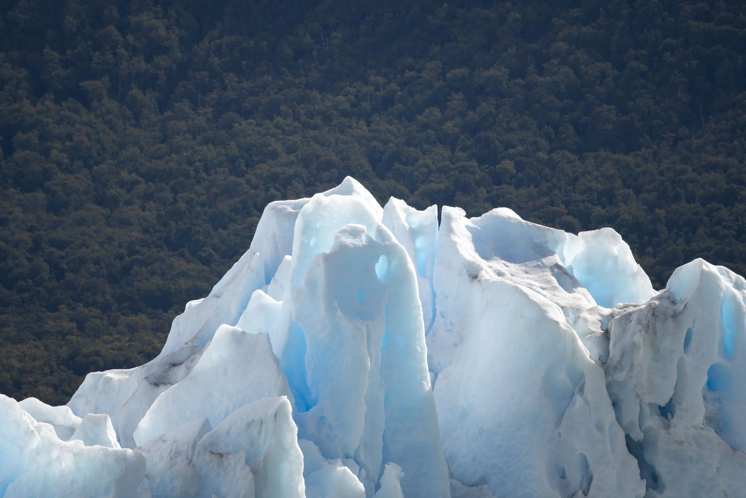
Together, the two sides form a territory of staggering scale, well over 300,000 square miles depending on where you draw the line (more on that below). It's home to glaciers, steppe grasslands, granite spires, and some of the last great stretches of untouched wilderness on Earth.
Why the Confusion?
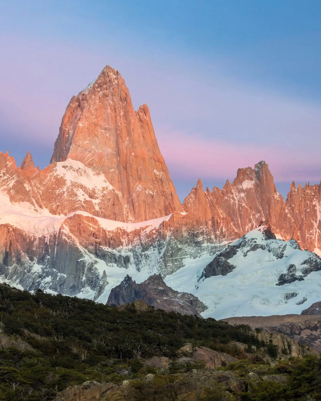
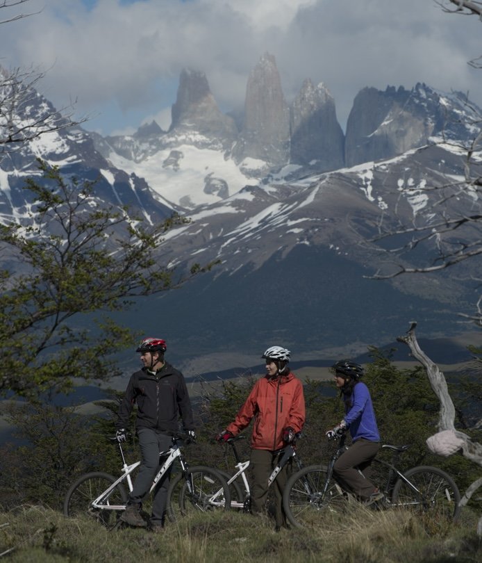
Part of the reason people mistake Patagonia for a country is sheer geographic weight: it's larger than many nations, and it has its own unmistakable identity, with its own wildlife, its own culture, and its own outdoor icons like Torres del Paine and Mount Fitz Roy. But no treaty or government has ever drawn an official boundary around it. Even geographers disagree on exactly where Patagonia begins. In Argentina, the unofficial northern edge is often placed near the Río Negro and the Bariloche lake district. In Chile, some maps push the boundary as far north as Temuco, while others start it further south, closer to the Aysén region. The Andes divide the region east to west, but there's no single line that all sources agree on.
Pop culture plays a role too. For most people outside South America, the word "Patagonia" is just as likely to call to mind a fleece jacket as a place, thanks to the outdoor clothing brand that borrowed the region's name back in 1973. Decades of global marketing have made the brand far more familiar than the geography behind it, so it's an easy leap for people to assume "Patagonia" is a single, definable place, the way a country is, rather than a shared, borderless expanse.
What's consistent, though, is the core idea: Patagonia is a shared expanse of extraordinary landscape that spans two sovereign countries, not one country of its own.
Why It Matters for Travelers
Understanding Patagonia's true geography actually makes trip planning easier, not harder. Since the region straddles two countries, the real question isn't "which country is Patagonia in," but "how much of each side do you want to see." That's exactly how we build our Patagonia itineraries at INCA.
For travelers who want it all in one trip, The Wild South and Patagonia Peaks itineraries each combine the Argentine and Chilean sides in a single seamless journey, one by expedition cruise and lodge stay near Chile's Torres del Paine, the other on foot between Torres del Paine and Argentina's El Chaltén.
For travelers who'd rather build their own route, we have the ability to design your dream trip around whatever focus fits you best, whether that's Chile, Argentina, or Patagonia as a whole, mixing and matching so the trip stays centered on the region itself or extends into the rest of either country.
Now, next time someone mentions Patagonia, you'll know it's actually two countries, not one. Ready to see both sides for yourself? Talk to an INCA travel advisor to start building your itinerary.
Written by Gabe Rios